

Battle of Centane Monument and Fort Upcher
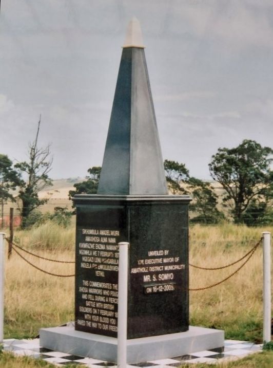
Photo: Pat Irwin
Location
Amathole District, Eastern Cape Province, South Africa
Centane, also known as Kentani or Quintana, Mnquma Local Municipality
The Monument is visible to the west of the DR08048 road from Centane to Butterworth, about 4.5 kms from Centane.
GPS of turn off from the DR08048: 32 deg 28 min 36.75 sec S, 28 deg 16 min 38.25 sec E.
Fort Upcher is approximately 700 metres west of the Monument on the same ridge along a dirt road.
GPS: 32 deg 28 min 35.58 sec S, 28 deg 16 min 31.75 sec E
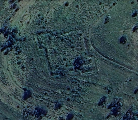
Fort Upcher
Source: Google Earth
Significance
During the 9th Frontier War, the British established a forward base with strong earthwork surrounded with trenches and rifle-pits under command of Captain Russell Upcher of the 1/24th Regiment on Centane Hill east of the Kei River in January 1878.
In the Battle of Centane on 7 February 1878, a Xhosa attack on Fort Upcher was repulsed with heavy loss.
This was the last pitched battle of the 9th Frontier War.
SAMHSEC field trips visited the Monument and Fort Upcher on 26 August 2006 & 5 August 2017
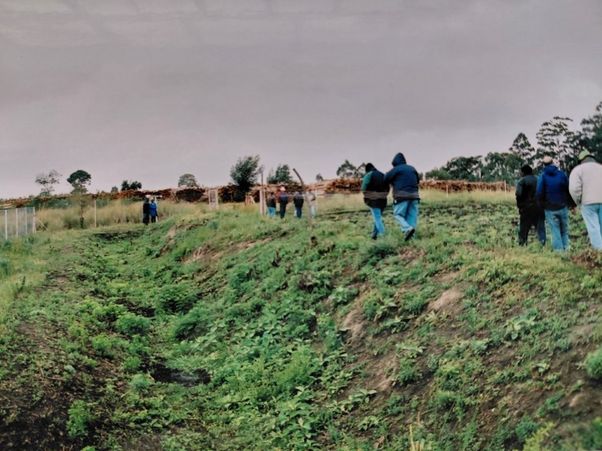
Photo: Pat Irwin
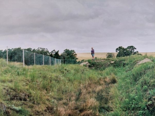
Photo: Pat Irwin
Reference
The Last Frontier War by Dr Philip Gon